DAVAO CITY—A Japanese government water hazard agency has worked out with the Department of Science and Technology to improve flood management and prediction here, with Japan asking the Philippine side to install the needed data on the equipment installed in the main river system that flows near downtown.
Dr. Mamoru Miyamoto of the International Center for Water Hazard and Risk Management (ICHARM) in Japan ICHARM led the team that met last month with Anthony Sales, regional director here of the DOST, and other key officers of the agency and other stakeholders from the academe, the national and city government agencies and other professional groups to discuss a technology-aided flood management system in the city.
The DOST Region XI and the Hydrology for Environment Life and Policy Davao Network (HELP Davao Network) and the various stakeholders in flood management were introduced to the ICHARM’s Online Synthesis System (OSS), which it developed for the Davao river monitoring.
The OSS is equipped with data and information on climate change impact assessment, real-time flood monitoring and forecasting and inundation prediction models to strengthen science-policy interaction and increase resilience against water-related disasters.
Dr. Kensuke Naito, a researcher from ICHARM Japan, said his team is currently developing a prediction model of inundation that may occur in the areas surrounding the Davao river, but it still needs more data to refine the model.
“At this point, the model still needs to be polished, so we really need local research data before publishing it,” he added.


The DOST-Philippine Atmospheric, Geophysical, and Astronomical Services Administration (DOST-PAGASA) committed to share real-time data available with ICHARM Japan. The data includes water level, rainfall, temperature, and other meteorological data monitored by weather instrumentations installed along the Davao River Basin.
The meeting last month with ICHARM Japan was followed with a separate meeting of HELP Davao Network and DOST XI, along with the other stakeholders “to reinforce efforts to achieve sustainable development, especially in view of the insufficient capacities to predict, monitor, and mitigate water-related disasters in the Davao River.”
The DOST information office said the City Planning and Development Office expressed commitment to work closely with HELP Davao and ICHARM Japan, specifically in trainings and providing data needed to improve the system.
The Department of Environment and Natural Resources XI also affirmed its commitment to the project, citing the importance of effective and coordinated climate action toward a resilient future.
Also, Dr. Miyamoto said it has discussed potential collaborations with Ateneo de Davao University (AdDU) in improving and mobilizing the Davao OSS, citing the system’s mechanism “is important for mitigation, adaptation, and disaster risk reduction, especially in a disaster-vulnerable country like the Philippines.”
Dr. Rogel Mari Sese, chairman of AdDU Aerospace Engineering Department and project leader of AdDU Community Connectivity Empowered by Satellite Services for Mindanao (ACCESS), said the satellite-enabled Automatic Weather stations they have installed in remote and isolated communities in Mindanao may also provide atmospheric data to further enhance the Davao OSS.
Dr. Sales, who is also the secretary of HELP Davao Network, said the Davao OSS would help in the proper disaster management, capacity development, and sustainable development planning, which are crucial to the continuous prosperity of Davao City.
“We need to empower our constituents by providing them with the resources, knowledge and skills to manage disasters,” Dr. Sales added.
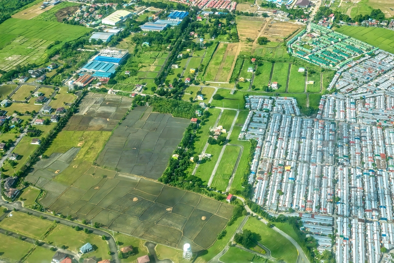
The World Risk Report 2022 recently revealed that the Philippines is the most disaster-prone country in the world. The multisectoral coordination of DOST XI, HELP Davao Network, and ICHARM Japan is expected to enhance the preparation for managing recurrent flood events and other water-related disasters in the Davao River.
Image credits: Teemu Väisänen/Wikimedia Commons CC BY-SA-4.0